


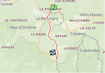

22 km | 32 km-effort


User


FREE GPS app for hiking
 SityTrail
IGN / Geographical institutes
SityTrail World
The world is yours!
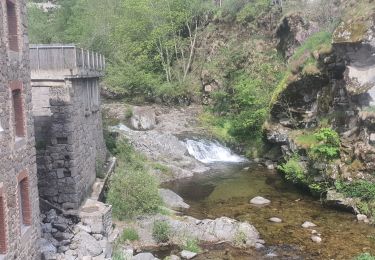
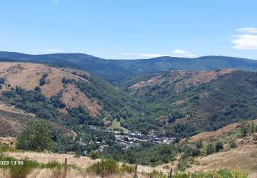
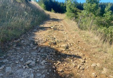
Trail Walking of 5.8 km to be discovered at Occitania, Lozère, Mont Lozère et Goulet. This trail is proposed by nfranche.
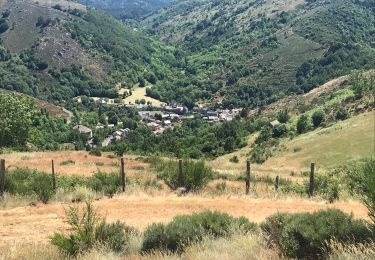
Le Bleymard - Mont Lozère : Etape très raccourcie compte tenu de la pluie qui empêche la montée au Mont Finiels ! Par beau temps la fusionner avec l'étape 9 !

Walking

Walking
Walking

Walking

Walking
Walking
Mountain bike
Walking
Walking